Generation of meteorological data for calpuff and aermod models
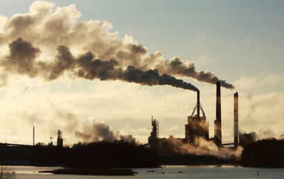
Atmospheric pollutant dispersion models such as CALPUFF and AERMOD are models that simulate the dispersion of different atmospheric pollutants or odours, released by an emitting source.
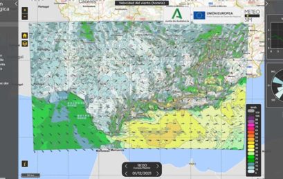
METEOSIM DEVELOPS A SYSTEM FOR FORECASTING AND DIAGNOSING AIR QUALITY IN ANDALUSIA
Meteofrance international, servei meteorològic de catalunya and meteosim, together helping to modernize inamet, the national meteorological service of angola, in modelling capabilities
In a previous Post, we talked about how specialized private companies are helping to modernize national meteorological services in developing countries
Climate change local impacts in the mining sector
Forecast weather alerts for insurance companies
Are weather extreme events increasing in frequency and intensity? Can we attribute these extreme weather events to climate change?
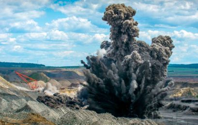
Blasting planning tools
Controlled detonations or “blasts” represent a key and recurrent activity during the performance of certain relevant economic activities, mainly in the mining, mining, construction and building demolition industries.
Will artificial intelligence replace the conventional weather forecasting system?
The 76th anniversary of the landing of Normandy was celebrated some days ago, a relevant historical event for the end of the Second World War and when meteorology played a crucial role. The landing took place exactly on June 6, 1944 due to the prior weather forecasts successfully conducted.
